
Mano topographic map
Interactive map
Click on the map to display elevation.
About this map
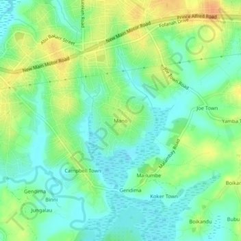
Name: Mano topographic map, elevation, terrain.
Location: Mano, Waterloo, Western Area Rural, Western Area, Sierra Leone (8.29809 -13.06647 8.33809 -13.02647)
Average elevation: 14 m
Minimum elevation: 0 m
Maximum elevation: 35 m