
Goretown topographic map
Click on the map to display elevation.
About this map
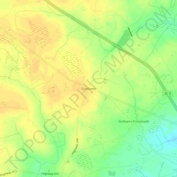
Name: Goretown topographic map, elevation, terrain.
Location: Goretown, Horry County, South Carolina, United States (34.00702 -78.84097 34.04702 -78.80097)
Average elevation: 25 m
Minimum elevation: 8 m
Maximum elevation: 34 m