
Seekofel topographic map
Interactive map
Click on the map to display elevation.
About this map
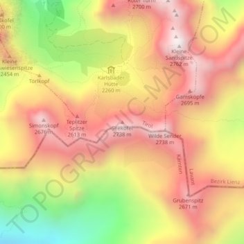
Name: Seekofel topographic map, elevation, terrain.
Location: Seekofel, Tristach, Bezirk Lienz, Oostenrijk (46.75718 12.80286 46.75728 12.80296)
Average elevation: 2,296 m
Minimum elevation: 1,672 m
Maximum elevation: 2,734 m