
Thank you for supporting this site ❤️
Make a donation
Make a donation
Mechtildshausen topographic map
Click on the map to display elevation.
Thank you for supporting this site ❤️
Make a donation
Make a donation
About this map
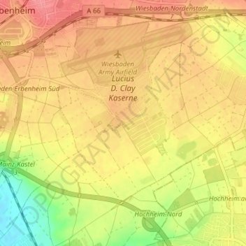
Name: Mechtildshausen topographic map, elevation, terrain.
Location: Mechtildshausen, Delkenheim, Wiesbaden, Hesse, 65205, Germany (50.01765 8.30462 50.05765 8.34462)
Average elevation: 131 m
Minimum elevation: 88 m
Maximum elevation: 157 m
Thank you for supporting this site ❤️
Make a donation
Make a donation