
Thank you for supporting this site ❤️
Make a donation
Make a donation
Ammeloe topographic map
Click on the map to display elevation.
Thank you for supporting this site ❤️
Make a donation
Make a donation
About this map
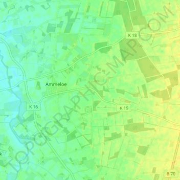
Name: Ammeloe topographic map, elevation, terrain.
Location: Ammeloe, Vreden, Kreis Borken, Noordrijn-Westfalen, Duitsland (52.06301 6.77348 52.09642 6.84552)
Average elevation: 36 m
Minimum elevation: 27 m
Maximum elevation: 45 m
Thank you for supporting this site ❤️
Make a donation
Make a donation