
Bajwa topographic map
Click on the map to display elevation.
About this map
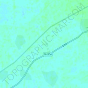
Name: Bajwa topographic map, elevation, terrain.
Location: Bajwa, Ajnala Tahsil, Amritsar, Punjab, India (31.93201 74.83453 31.93361 74.83733)
Average elevation: 231 m
Minimum elevation: 228 m
Maximum elevation: 235 m
Other topographic maps
Click on a map to view its topography, its elevation and its terrain.