
Thank you for supporting this site ❤️
Make a donation
Make a donation
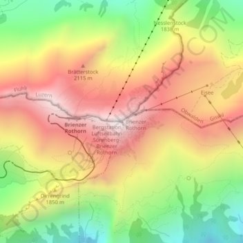
Brienzer Rothorn topographic map
Click on the map to display elevation.
Thank you for supporting this site ❤️
Make a donation
Make a donation
Brienzer Rothorn
布里恩茨红峰(德語:Brienzer Rothorn,意即为“布里恩茨的红色山峰”)是瑞士的山峰,位於該國中北部,橫跨盧塞恩州、上瓦爾登州和伯恩州,屬於埃默河谷山的一部分,海拔高度2,350米,山體由石灰岩組成。
Thank you for supporting this site ❤️
Make a donation
Make a donation
About this map
Name: Brienzer Rothorn topographic map, elevation, terrain.
Average elevation: 1,817 m
Minimum elevation: 1,261 m
Maximum elevation: 2,325 m
Thank you for supporting this site ❤️
Make a donation
Make a donation