
Bongará topographic map
Interactive map
Click on the map to display elevation.
About this map
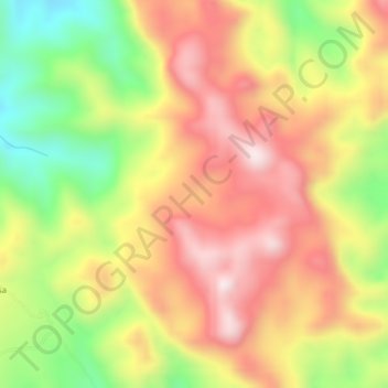
Name: Bongará topographic map, elevation, terrain.
Location: Bongará, Yambrasbamba, Bongará, Amazonas, Peru (-5.69457 -77.92194 -5.65457 -77.88194)
Average elevation: 2,159 m
Minimum elevation: 1,847 m
Maximum elevation: 2,421 m