
Thank you for supporting this site ❤️
Make a donation
Make a donation
Tigaon topographic map
Click on the map to display elevation.
Thank you for supporting this site ❤️
Make a donation
Make a donation
About this map
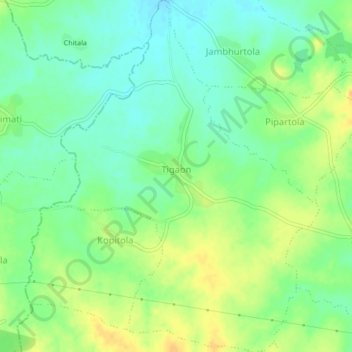
Name: Tigaon topographic map, elevation, terrain.
Location: Tigaon, Amgaon Taluka, Gondiya, Maharashtra, India (21.27701 80.32345 21.31627 80.35535)
Average elevation: 330 m
Minimum elevation: 317 m
Maximum elevation: 345 m
Thank you for supporting this site ❤️
Make a donation
Make a donation