
Segamat District topographic map
Click on the map to display elevation.
About this map
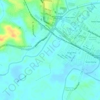
Name: Segamat District topographic map, elevation, terrain.
Location: Segamat District, Johor, 85000, Malaysia (2.50044 102.81560 2.50054 102.81570)
Average elevation: 16 m
Minimum elevation: 7 m
Maximum elevation: 43 m