
Mandwi topographic map
Interactive map
Click on the map to display elevation.
About this map
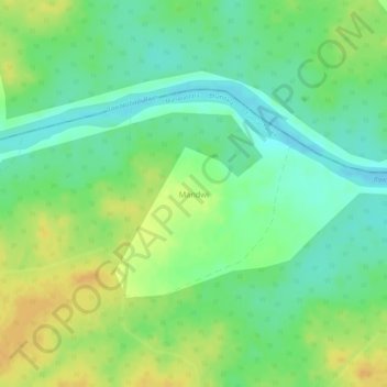
Name: Mandwi topographic map, elevation, terrain.
Location: Mandwi, Tumsar Taluka, Bhandara District, Maharashtra, India (21.53298 79.55881 21.54754 79.57260)
Average elevation: 331 m
Minimum elevation: 315 m
Maximum elevation: 346 m