
Mandya topographic map
Interactive map
Click on the map to display elevation.
About this map
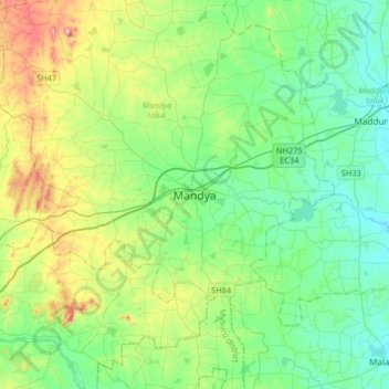
Name: Mandya topographic map, elevation, terrain.
Location: Mandya, Mandya taluk, Mandya district, Karnataka, 571401, Inde (12.36389 76.73620 12.68389 77.05620)
Average elevation: 693 m
Minimum elevation: 615 m
Maximum elevation: 916 m