
Metyikpwale topographic map
Interactive map
Click on the map to display elevation.
About this map
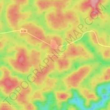
Name: Metyikpwale topographic map, elevation, terrain.
Location: Metyikpwale, Mvila, Sud, Cameroun (2.82962 11.47142 2.86962 11.51142)
Average elevation: 704 m
Minimum elevation: 630 m
Maximum elevation: 753 m