
Thank you for supporting this site ❤️
Make a donation
Make a donation
San Andres topographic map
Click on the map to display elevation.
Thank you for supporting this site ❤️
Make a donation
Make a donation
About this map
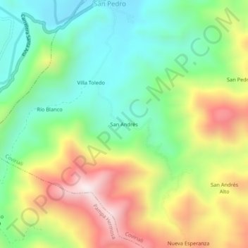
Name: San Andres topographic map, elevation, terrain.
Location: San Andres, Coviriali, Satipo, Junín, Perú (-11.34551 -74.71391 -11.30551 -74.67391)
Average elevation: 1,074 m
Minimum elevation: 754 m
Maximum elevation: 1,566 m
Thank you for supporting this site ❤️
Make a donation
Make a donation