
Radomlje topographic map
Interactive map
Click on the map to display elevation.
About this map
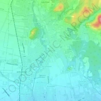
Name: Radomlje topographic map, elevation, terrain.
Location: Radomlje, Domschale, Upravna Enota Domžale, 1235, Slowenien (46.15319 14.59018 46.19319 14.63018)
Average elevation: 333 m
Minimum elevation: 306 m
Maximum elevation: 446 m