
Egede topographic map
Interactive map
Click on the map to display elevation.
About this map
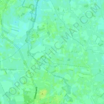
Name: Egede topographic map, elevation, terrain.
Location: Egede, Hellendoorn, Overijssel, Nederland, 7447, Nederland (52.42039 6.43431 52.46039 6.47431)
Average elevation: 8 m
Minimum elevation: 3 m
Maximum elevation: 15 m