
Lenggeng topographic map
Interactive map
Click on the map to display elevation.
About this map
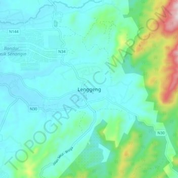
Name: Lenggeng topographic map, elevation, terrain.
Location: Lenggeng, Seremban, Negeri Sembilan, Malaysia (2.82143 101.90339 2.90143 101.98339)
Average elevation: 147 m
Minimum elevation: 40 m
Maximum elevation: 616 m