
Ecopetrol topographic map
Interactive map
Click on the map to display elevation.
About this map
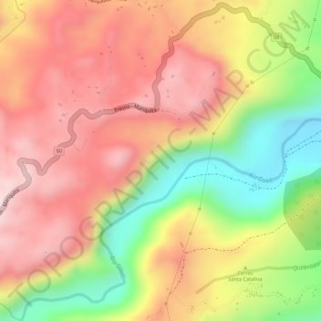
Name: Ecopetrol topographic map, elevation, terrain.
Location: Ecopetrol, Mariquita, Tolima, Colombia (5.19019 -74.93406 5.21019 -74.91406)
Average elevation: 715 m
Minimum elevation: 492 m
Maximum elevation: 864 m
Other topographic maps
Click on a map to view its topography, its elevation and its terrain.