
Châtelet topographic map
Interactive map
Click on the map to display elevation.
About this map
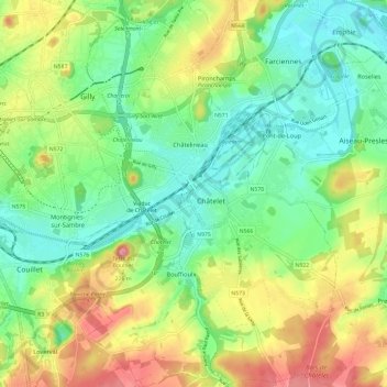
Name: Châtelet topographic map, elevation, terrain.
Location: Châtelet, Charleroi, Henao, Valonia, 6200, Bélgica (50.36807 4.48367 50.44377 4.56285)
Average elevation: 142 m
Minimum elevation: 88 m
Maximum elevation: 233 m