
Kapelle topographic map
Interactive map
Click on the map to display elevation.
About this map
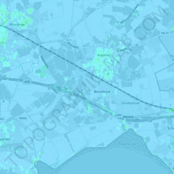
Name: Kapelle topographic map, elevation, terrain.
Location: Kapelle, Zeeland, Nederland (51.44701 3.91282 51.50675 4.00541)
Average elevation: -1 m
Minimum elevation: -6 m
Maximum elevation: 4 m
Other topographic maps
Click on a map to view its topography, its elevation and its terrain.