
لس topographic map
Interactive map
Click on the map to display elevation.
About this map
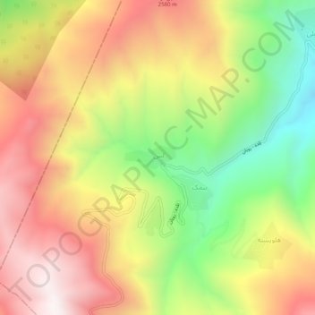
Name: لس topographic map, elevation, terrain.
Location: لس, بخش مرکزی شهرستان نور, شهرستان نور, استان مازندران, Iran (36.29650 51.80941 36.33650 51.84941)
Average elevation: 2,249 m
Minimum elevation: 1,657 m
Maximum elevation: 2,792 m