
powiat bielski topographic map
Interactive map
Click on the map to display elevation.
About this map
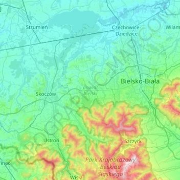
Name: powiat bielski topographic map, elevation, terrain.
Location: powiat bielski, Silésie, Pologne (49.65280 18.82682 49.95892 19.31678)
Average elevation: 398 m
Minimum elevation: 234 m
Maximum elevation: 1,248 m
Other topographic maps
Click on a map to view its topography, its elevation and its terrain.