
De Pere topographic map
Interactive map
Click on the map to display elevation.
About this map
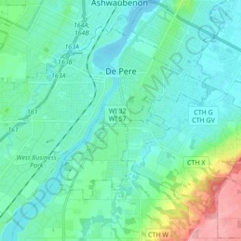
Name: De Pere topographic map, elevation, terrain.
Location: De Pere, Brown County, Wisconsin, USA (44.39526 -88.14049 44.46612 -88.01375)
Average elevation: 197 m
Minimum elevation: 176 m
Maximum elevation: 288 m