
Bel Air South topographic map
Interactive map
Click on the map to display elevation.
About this map
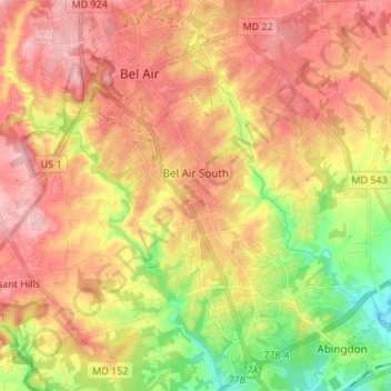
Name: Bel Air South topographic map, elevation, terrain.
Location: Bel Air South, Harford County, Maryland, USA (39.45107 -76.36896 39.55506 -76.27986)
Average elevation: 81 m
Minimum elevation: 2 m
Maximum elevation: 142 m