
Ribi topographic map
Interactive map
Click on the map to display elevation.
About this map
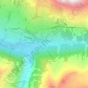
Name: Ribi topographic map, elevation, terrain.
Location: Ribi, Unterschächen, Uri, 6465, Suisse (46.84437 8.76160 46.88437 8.80160)
Average elevation: 1,544 m
Minimum elevation: 968 m
Maximum elevation: 2,541 m