
Thank you for supporting this site ❤️
Make a donation
Make a donation
Bentosa topographic map
Click on the map to display elevation.
Thank you for supporting this site ❤️
Make a donation
Make a donation
About this map
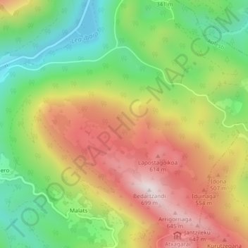
Name: Bentosa topographic map, elevation, terrain.
Location: Bentosa, Aulesti, Vizcaya, País Vasco, 48380, España (43.28347 -2.54887 43.30347 -2.52887)
Average elevation: 350 m
Minimum elevation: 55 m
Maximum elevation: 686 m
Thank you for supporting this site ❤️
Make a donation
Make a donation