
Thank you for supporting this site ❤️
Make a donation
Make a donation
Dalton topographic map
Click on the map to display elevation.
Thank you for supporting this site ❤️
Make a donation
Make a donation
About this map
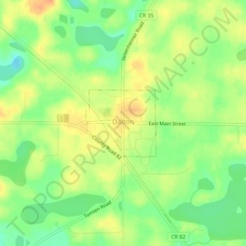
Name: Dalton topographic map, elevation, terrain.
Location: Dalton, Otter Tail County, Minnesota, United States (46.17003 -95.92153 46.17734 -95.91041)
Average elevation: 408 m
Minimum elevation: 387 m
Maximum elevation: 427 m
Thank you for supporting this site ❤️
Make a donation
Make a donation
Other topographic maps
Click on a map to view its topography, its elevation and its terrain.
Fergus Falls
United States > Minnesota > Otter Tail County > Fergus Falls > Fergus Falls
Average elevation: 375 m
Mills Manor Mobile Home Park
United States > Minnesota > Otter Tail County > New York Mills > Mills Manor Mobile Home Park
Average elevation: 429 m
Thank you for supporting this site ❤️
Make a donation
Make a donation