
L'Escalier topographic map
Interactive map
Click on the map to display elevation.
About this map
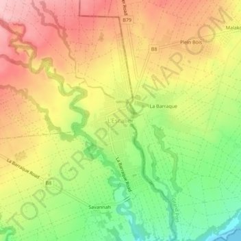
Name: L'Escalier topographic map, elevation, terrain.
Location: L'Escalier, Grand Port, Maurice (-20.49335 57.59935 -20.45335 57.63935)
Average elevation: 91 m
Minimum elevation: 0 m
Maximum elevation: 171 m