
Canton topographic map
Interactive map
Click on the map to display elevation.
About this map
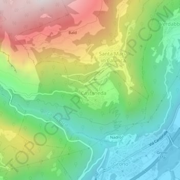
Name: Canton topographic map, elevation, terrain.
Location: Canton, Castaneda, Moësa, Grisons, 6540, Suisse (46.24840 9.12920 46.26840 9.14920)
Average elevation: 789 m
Minimum elevation: 312 m
Maximum elevation: 1,562 m