
Flitsch topographic map
Interactive map
Click on the map to display elevation.
About this map
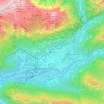
Name: Flitsch topographic map, elevation, terrain.
Location: Flitsch, 5230, Slowenien (46.29855 13.51259 46.37855 13.59259)
Average elevation: 958 m
Minimum elevation: 330 m
Maximum elevation: 2,325 m
Other topographic maps
Click on a map to view its topography, its elevation and its terrain.