
Schlatt topographic map
Interactive map
Click on the map to display elevation.
About this map
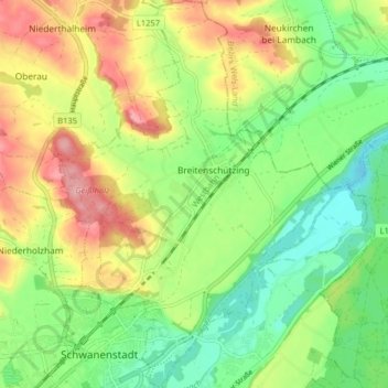
Name: Schlatt topographic map, elevation, terrain.
Location: Schlatt, Bezirk Vöcklabruck, Haute-Autriche, 4690, Autriche (48.04993 13.76411 48.10352 13.82267)
Average elevation: 409 m
Minimum elevation: 354 m
Maximum elevation: 500 m