
Cuyab topographic map
Click on the map to display elevation.
About this map
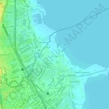
Name: Cuyab topographic map, elevation, terrain.
Location: Cuyab, San Pedro, Laguna, Calabarzon, 4023, Philippines (14.36887 121.05244 14.38047 121.07078)
Average elevation: 6 m
Minimum elevation: 0 m
Maximum elevation: 22 m
Other topographic maps
Click on a map to view its topography, its elevation and its terrain.