
Thank you for supporting this site ❤️
Make a donation
Make a donation
Fern topographic map
Click on the map to display elevation.
Thank you for supporting this site ❤️
Make a donation
Make a donation
About this map
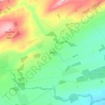
Name: Fern topographic map, elevation, terrain.
Location: Fern, Angus, Scotland, DD8 3QW, United Kingdom (56.72390 -2.86579 56.76390 -2.82579)
Average elevation: 156 m
Minimum elevation: 76 m
Maximum elevation: 297 m
Thank you for supporting this site ❤️
Make a donation
Make a donation