
Thank you for supporting this site ❤️
Make a donation
Make a donation
Totoltepec de Guerrero topographic map
Click on the map to display elevation.
Thank you for supporting this site ❤️
Make a donation
Make a donation
About this map
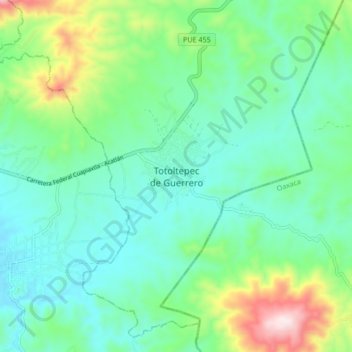
Name: Totoltepec de Guerrero topographic map, elevation, terrain.
Location: Totoltepec de Guerrero, Puebla, Mexico (18.18182 -97.89538 18.26182 -97.81538)
Average elevation: 1,445 m
Minimum elevation: 1,300 m
Maximum elevation: 1,886 m
Thank you for supporting this site ❤️
Make a donation
Make a donation