
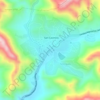
San Casimiro topographic map
Interactive map
Click on the map to display elevation.
About this map
Name: San Casimiro topographic map, elevation, terrain.
Average elevation: 557 m
Minimum elevation: 446 m
Maximum elevation: 767 m
Other topographic maps
Click on a map to view its topography, its elevation and its terrain.
San Casimiro
Venezuela > Aragua > San Casimiro
San Casimiro, Parroquia San Casimiro, Municipio San Casimiro, Aragua, Central, Venezuela
Average elevation: 708 m