
Le Chasseron topographic map
Interactive map
Click on the map to display elevation.
About this map
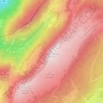
Name: Le Chasseron topographic map, elevation, terrain.
Average elevation: 1,367 m
Minimum elevation: 853 m
Maximum elevation: 1,590 m
Other topographic maps
Click on a map to view its topography, its elevation and its terrain.
Les Cluds
Suisse > Vaud > District du Jura-Nord vaudois > Bullet
Les Cluds, Bullet, District du Jura-Nord vaudois, Vaud, 1453, Suisse
Average elevation: 1,194 m