
Courfaivre topographic map
Interactive map
Click on the map to display elevation.
About this map
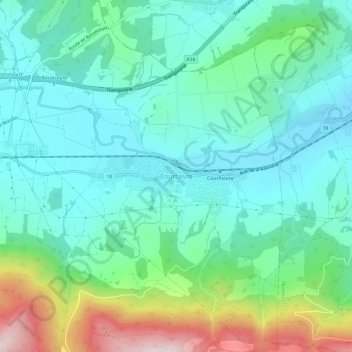
Name: Courfaivre topographic map, elevation, terrain.
Location: Courfaivre, District de Delémont, Jura, 2853, Suisse (47.31452 7.26381 47.35452 7.30381)
Average elevation: 568 m
Minimum elevation: 434 m
Maximum elevation: 972 m
Courfaivre se situe à 6 km à vol d’oiseau au sud-ouest de Delémont. Le village est arrosé par la Sorne, à 459 mètres d’altitude.