
Thank you for supporting this site ❤️
Make a donation
Make a donation
Sagaing Region topographic map
Click on the map to display elevation.
Thank you for supporting this site ❤️
Make a donation
Make a donation
About this map
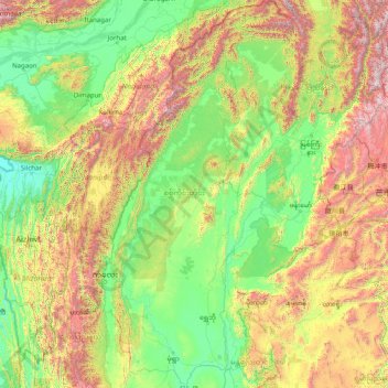
Name: Sagaing Region topographic map, elevation, terrain.
Location: Sagaing Region, Myanmar (21.57596 93.94319 27.37664 97.07634)
Average elevation: 693 m
Minimum elevation: 12 m
Maximum elevation: 3,743 m
Thank you for supporting this site ❤️
Make a donation
Make a donation
Other topographic maps
Click on a map to view its topography, its elevation and its terrain.