
Thank you for supporting this site ❤️
Make a donation
Make a donation
Moe Lin topographic map
Click on the map to display elevation.
Thank you for supporting this site ❤️
Make a donation
Make a donation
About this map
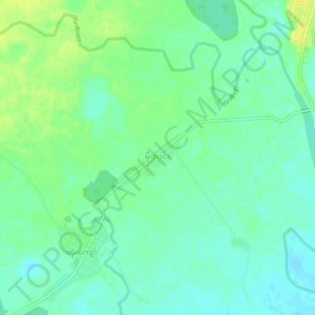
Name: Moe Lin topographic map, elevation, terrain.
Location: Moe Lin, Tamu Township, Tamu District, Sagaing, Myanmar (24.47590 94.47608 24.51590 94.51608)
Average elevation: 187 m
Minimum elevation: 178 m
Maximum elevation: 199 m
Thank you for supporting this site ❤️
Make a donation
Make a donation