
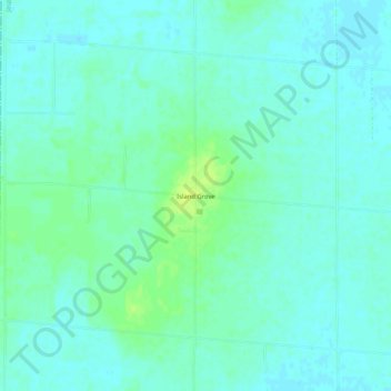
Island Grove topographic map
Interactive map
Click on the map to display elevation.
About this map
Name: Island Grove topographic map, elevation, terrain.
Location: Island Grove, Jasper County, Illinois, USA (39.08254 -88.35532 39.12254 -88.31532)
Average elevation: 181 m
Minimum elevation: 176 m
Maximum elevation: 190 m