
Thank you for supporting this site ❤️
Make a donation
Make a donation
Ingham Township topographic map
Click on the map to display elevation.
Thank you for supporting this site ❤️
Make a donation
Make a donation
About this map
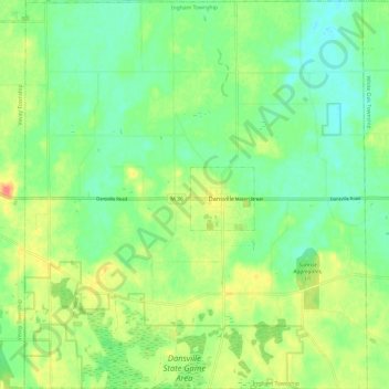
Name: Ingham Township topographic map, elevation, terrain.
Average elevation: 287 m
Minimum elevation: 268 m
Maximum elevation: 317 m
Thank you for supporting this site ❤️
Make a donation
Make a donation
Other topographic maps
Click on a map to view its topography, its elevation and its terrain.
Burchfield Park
United States > Michigan > Ingham County > Delhi Charter Township
Average elevation: 268 m
Village of Dansville Community Park
United States > Michigan > Ingham County > Dansville
Average elevation: 289 m
Thank you for supporting this site ❤️
Make a donation
Make a donation