
Porter topographic map
Interactive map
Click on the map to display elevation.
About this map
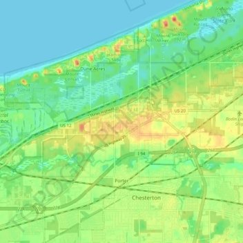
Name: Porter topographic map, elevation, terrain.
Location: Porter, Porter County, Indiana, États-Unis d'Amérique (41.59683 -87.10662 41.67013 -87.04346)
Average elevation: 192 m
Minimum elevation: 175 m
Maximum elevation: 218 m