
Thank you for supporting this site ❤️
Make a donation
Make a donation
Gunung Pulai topographic map
Click on the map to display elevation.
Thank you for supporting this site ❤️
Make a donation
Make a donation
About this map
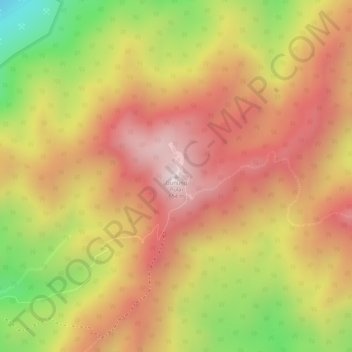
Name: Gunung Pulai topographic map, elevation, terrain.
Location: Gunung Pulai, Kulai, Johor, 81000, Malaysia (1.60157 103.54620 1.60167 103.54630)
Average elevation: 410 m
Minimum elevation: 57 m
Maximum elevation: 630 m
Thank you for supporting this site ❤️
Make a donation
Make a donation
Other topographic maps
Click on a map to view its topography, its elevation and its terrain.