
Anand topographic map
Interactive map
Click on the map to display elevation.
About this map
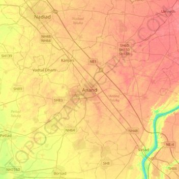
Name: Anand topographic map, elevation, terrain.
Location: Anand, Anand Taluka, Anand District, Gujarat, 388001, Inde (22.39850 72.80256 22.71850 73.12256)
Average elevation: 40 m
Minimum elevation: 4 m
Maximum elevation: 59 m