
Saron topographic map
Interactive map
Click on the map to display elevation.
About this map
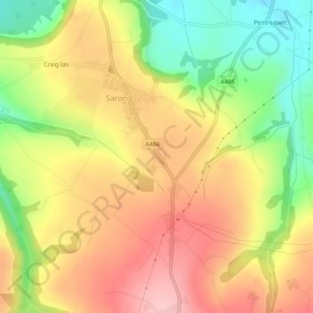
Name: Saron topographic map, elevation, terrain.
Location: Saron, Llangeler, Carmarthenshire, Gales, Reino Unido (52.00233 -4.37702 52.01948 -4.36165)
Average elevation: 139 m
Minimum elevation: 52 m
Maximum elevation: 213 m