
Roumont topographic map
Interactive map
Click on the map to display elevation.
About this map
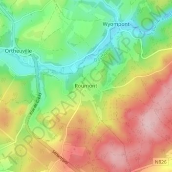
Name: Roumont topographic map, elevation, terrain.
Location: Roumont, Bertogne, Bastenaken, Luxemburg, Wallonië, 6972, België (50.05140 5.53956 50.09140 5.57956)
Average elevation: 414 m
Minimum elevation: 323 m
Maximum elevation: 526 m