
Thank you for supporting this site ❤️
Make a donation
Make a donation
Raeren topographic map
Click on the map to display elevation.
Thank you for supporting this site ❤️
Make a donation
Make a donation
About this map
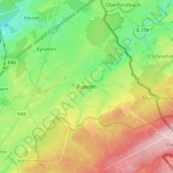
Name: Raeren topographic map, elevation, terrain.
Location: Raeren, Verviers, Liège, Wallonie, 4730, Belgique (50.63613 6.07084 50.71613 6.15084)
Average elevation: 312 m
Minimum elevation: 214 m
Maximum elevation: 456 m
Thank you for supporting this site ❤️
Make a donation
Make a donation