
Bôle topographic map
Interactive map
Click on the map to display elevation.
About this map
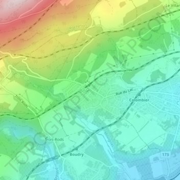
Name: Bôle topographic map, elevation, terrain.
Location: Bôle, Milvignes, Neuchâtel, 2014, Suisse (46.95870 6.82084 46.97800 6.85075)
Average elevation: 560 m
Minimum elevation: 437 m
Maximum elevation: 835 m