
Make a donation
Willmandingen topographic map
Click on the map to display elevation.
Make a donation
Willmandingen
Das Naturschutzgebiet Ruchberg liegt westlich von Willmandingen. Südwestlich von Erpfingen beginnt das Landschaftsschutzgebiet Laucherttal mit Nebentälern. Mit den Gebieten Salmendingen/Sonnenbühl, Albtrauf zwischen Mössingen und Gönningen und Albtrauf Pfullingen hat die Gemeinde Anteil an drei FFH-Gebieten. Das Vogelschutzgebiet Mittlere Schwäbische Alb erstreckt sich entlang der nördlichen Gemeindegrenze von der Höhe Talheim bis zur Grenze nach Engstingen.
Make a donation
About this map
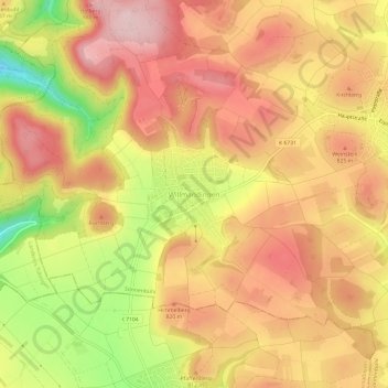
Name: Willmandingen topographic map, elevation, terrain.
Average elevation: 786 m
Minimum elevation: 627 m
Maximum elevation: 884 m
Make a donation
Other topographic maps
Click on a map to view its topography, its elevation and its terrain.
Waldsiedlung Beerenhalde
Deutschland > Baden-Württemberg > Landkreis Reutlingen > Sonnenbühl
Average elevation: 773 m