
Santa Teresita topographic map
Interactive map
Click on the map to display elevation.
About this map
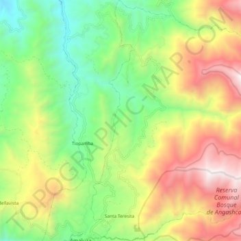
Name: Santa Teresita topographic map, elevation, terrain.
Location: Santa Teresita, Cantón Espindola, Loja, Ecuador (-4.58156 -79.42250 -4.48114 -79.32488)
Average elevation: 1,999 m
Minimum elevation: 1,160 m
Maximum elevation: 3,164 m